

New - 1 Hour Ago



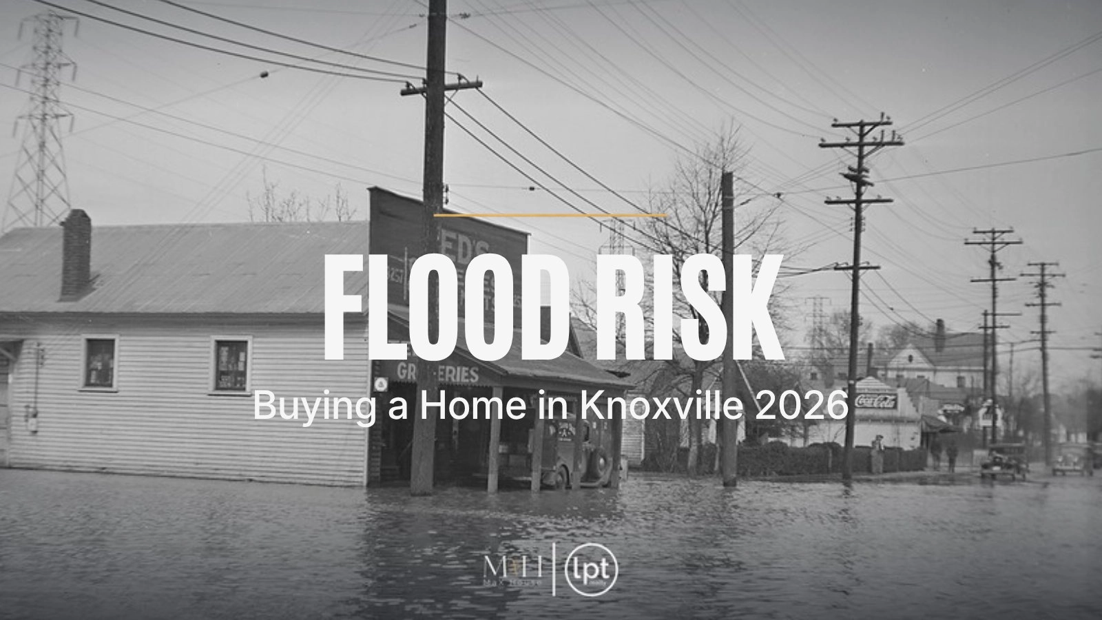
Kickoff at Neyland Stadium got pushed back on September 23, 2006, after storms dumped rain on Knoxville in about three hours. The National Weather Service office in Morristown logged 4.08 inches at the Knoxville Water Plant and 5.85 inches at the Lenoir City Water Plant, with creeks spilling into roads across Knox, Loudon, and Roane counties. Flood risk in Knoxville changes street by street, and you want to know where a home stands before you sign. This guide walks through flood zones, insurance, and the checks we run, using sources we reviewed on November 5, 2026.
New to the area? Start with our complete Knoxville relocation guide, or browse homes for sale across Knox County.
Here's what we'll cover:
FEMA calls its high-risk areas Special Flood Hazard Areas, and their zone labels start with A or V. These areas have at least a 1% chance of flooding in any year. Over a 30-year mortgage, FloodSmart puts that at about a 1 in 4 chance of a flood.
Zones labeled B, C, or X are moderate to low risk. Lower risk still leaves some risk, and insurance there usually costs less.

First Creek floodwater on Flenwood Street in Knoxville, photographed by TVA in 1938.
Knox County's stormwater office warns that flooding also happens outside mapped zones, from poor drainage and from sinkholes, which are common in East Tennessee's limestone ground. A low backyard, a sloped driveway toward the garage, or a finished basement can take on water with no creek in sight. Shopping for a home with a lower level? Browse Knoxville homes with basements and plan to ask how each one handles heavy rain.
If a home sits in a high-risk zone and you buy it with a mortgage from a federally regulated or insured lender, federal law requires flood insurance, per FEMA. Outside those zones it's your choice. Most standard homeowners policies exclude flood damage. NFIP policies cover up to $250,000 for the building and $100,000 for contents. New policies usually wait 30 days to take effect, with an exception when the policy is bought in connection with a loan closing. FEMA reports the average flood claim from 2020 to 2024 at $82,614. That number shows why even an optional policy deserves a quote.
Thinking about selling your Knoxville home? Get a free home value from MaX House and see where you stand before you decide anything.
Look up the address on the FEMA Flood Map Service Center at msc.fema.gov, then on KGIS, the Knoxville and Knox County mapping site, where floodplain layers sit under the planning and zoning maps. Check the house footprint along with the lot, since a mapped zone can clip only the backyard.
The Tennessee Residential Property Condition Disclosure asks sellers to mark yes, no, or unknown for flooding, drainage, or grading problems. Read that answer closely, and ask follow-up questions about any yes or unknown.
Ask whether the seller has an elevation certificate, a current flood policy, or past flood claims. An elevation certificate shows how high the lowest floor sits compared with the expected flood level, and an insurer uses it to price the policy. Buying a home sold as-is? Read what as-is means when you buy a home before you skip any of these steps.
Call an insurance agent for a flood quote during your inspection period, then add it to your monthly payment with our mortgage calculator. A home inspector can point out grading, gutters, and signs of past water in a crawl space or basement. For city addresses, the floodplain staff answer questions at [email protected]. For county addresses, the Knox County floodplain office is at 865-215-5234.
Knoxville's effective flood maps are more than 13 years old. New roofs, parking lots, and subdivisions have changed how water runs since then. Treat the map as a floor for your research.
Required flood insurance raises your monthly cost, and the price depends on the house. We don't have a reliable Knoxville average to share, so get a real quote on the real address. Run the full payment through our affordability calculator before you fall for a creekside lot.
Tennessee sellers answer the disclosure from what they actually know. A seller who owned the home for two dry years may honestly mark no. Your own map check and inspection carry the weight.
Building, adding on, or filling dirt in a floodplain needs a floodplain development permit, and Knox County marks some areas as no-fill. New construction in the county's floodplain must sit at least 1 foot above the 0.2% annual chance flood elevation. Plans for a new garage or addition can get more expensive near a creek.
Redfin's figures for the three months ending September 2026 show a $324,845 median sale price in Knoxville, up 3.1% from a year earlier, with 686 homes sold and a 56-day median on market. Homes sold at 97.3% of list price, and 38.5% had a price drop. That gives buyers time to finish flood checks without rushing. Shopping with today's rates? Read our guide to buying a Knoxville home with 7% mortgage rates.
Fort Loudoun Lake runs right through Knoxville. TVA lists it at 14,600 acres with 111,000 acre-feet of flood storage. TVA lowers the lake to a minimum of 807 feet in winter and fills it to about 812 to 813 feet in summer, so docks and shorelines look different by season. Drive times from downtown Knoxville, measured with OSRM routing on November 5, 2026, in light traffic:

Fort Loudoun Dam in Lenoir City holds back Fort Loudoun Lake, the uppermost TVA reservoir on the Tennessee River.
Love the water? Browse Knoxville waterfront homes and check each one's flood zone and dock rules before you fall for the view.
Flood risk is one more way to compare neighborhoods, and our guide to top Knoxville neighborhoods is a good place to compare them. Buying your first home? Our first-time home buyer guide covers inspections and the rest of the process.

The Tennessee River in downtown Knoxville, seen from the docks near Calhoun's on the River.
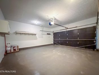
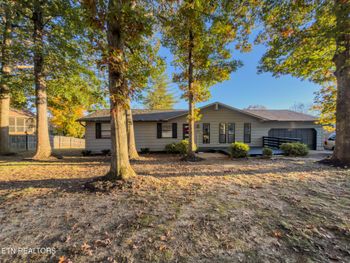
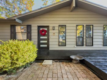
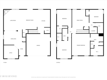
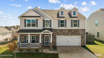
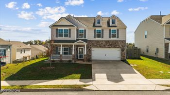
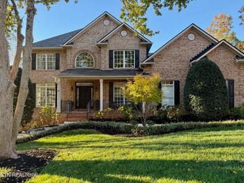
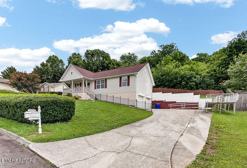
A sample of active MaX House listings in Knoxville, confirmed active in Knoxville Area Association of Realtors MLS data on November 5, 2026. We haven't mapped flood zones for these homes in this post, so ask and we'll pull the FEMA map for any address. Prices and status change quickly.
IDX information is provided exclusively for personal, non-commercial use, and may not be used for any purpose other than to identify prospective properties consumers may be interested in purchasing. Information is deemed reliable but not guaranteed.
A home in a mapped zone can still be a smart buy if the price, the elevation, and the insurance quote all work. If y'all are buying from out of state, our remote home buying process lets you tour and sign from a distance, and we'll pull the maps before your video tour. Our Greater Knoxville relocation guide covers the wider region, and our pros and cons of living in Knoxville covers the rest of city life.
Buyers will ask about flooding, so gather your elevation certificate, flood policy, and any drainage repairs before you list. Estimate your net with our home sale calculator, review seller closing costs in Tennessee, and read our seller resources to plan pricing and prep.
Search the address on the FEMA Flood Map Service Center at msc.fema.gov and on KGIS. Zones starting with A or V are high risk. Zones B, C, and X are moderate to low risk.
Your lender will require it if the home is in a high-risk zone and the mortgage comes from a federally regulated or insured lender. Elsewhere it's optional, and FEMA says 29% of NFIP claims from 2014 to 2024 came from outside high-risk zones.
Most standard homeowners policies do not cover flood damage. Flood coverage comes from a separate NFIP or private flood policy.
The Tennessee disclosure form asks about flooding, drainage, or grading problems, and sellers answer based on what they know. Do your own map check too.
NFIP policies usually take 30 days to start. A policy bought in connection with a loan closing can start at closing.
Looking at a home near a creek or the lake? Our team checks flood maps on every address our buyers ask about, across Knox County and East Tennessee. Reach out to our team any time. MaX House, brokered by LPT Realty.
Find out what your current home could sell for, then get new Knoxville listings sent to you the day they hit the market. Our team answers every request personally.
Cover photo: Flood at Sixth and Washington Street in Knoxville, 1938, by the Tennessee Valley Authority, public domain, via the National Archives and Wikimedia Commons. Photos: First Creek flooding at Flenwood Street, 1938, by the Tennessee Valley Authority, public domain, via the National Archives and Wikimedia Commons; Fort Loudoun Lock and Dam by Lee Ann Ratledge, CC BY 4.0, via Wikimedia Commons; the Tennessee River at Calhoun's on the River by ruthdaniel3444, CC BY 2.0, via Wikimedia Commons.